

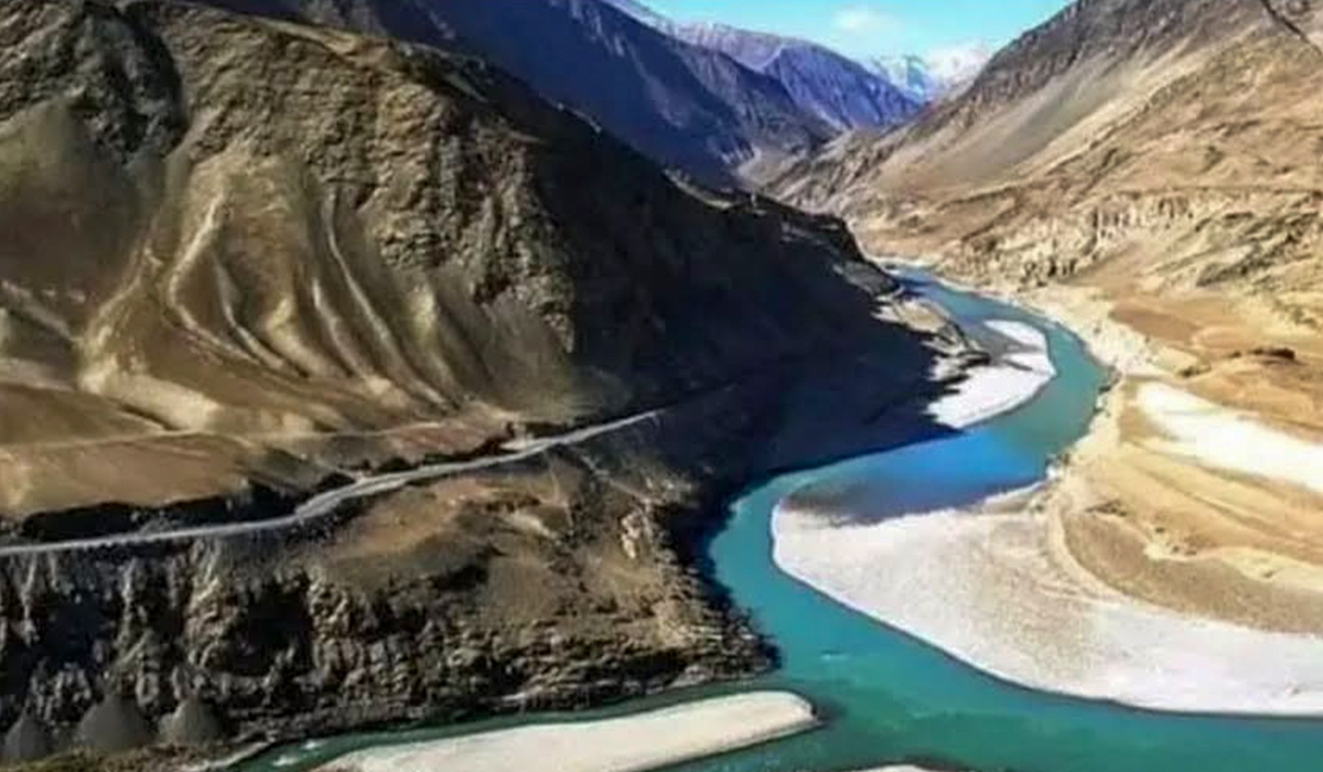

In the history of human civilisation, there are certain geographical regions that have profoundly influenced the world’s thought, religion, philosophy and social structure. Among the foremost of these is Sapta Sindhu. According to sources from the Punjab Languages Department and ancient Indian Vedic literature, Sapta Sindhu means “seven rivers” or “the land of seven rivers.” The term appears frequently in the Vedas and has remained an important and widely studied subject for historians, archaeologists and linguists across the world.
Since ancient times, the geographical boundaries of this region have broadly been associated with two great historic rivers: the Indus in the west and the Yamuna in the east. This was the sacred and fertile land where the Rigveda, one of humanity’s oldest surviving texts, took shape; where sophisticated urban centres of the Indus Valley Civilisation flourished; and where the cultures of East and West met on a remarkable scale.
In this article, we examine the history of Sapta Sindhu, the changing geographical boundaries of the region and its present-day legacy through references found in Vedic literature, Puranic texts, and Greek, Roman and Islamic sources.
The term Sapta Sindhu is formed from two Sanskrit words: sapta, meaning seven, and sindhu, meaning river or sea. In the Rigveda, the word Sindhu is used specifically for the present-day Indus River, but also more generally for a large flowing body of water or river.
The fame of Sapta Sindhu was not confined to the Indian subcontinent. Other major civilisations of the ancient world were also familiar with the geographical and cultural importance of the region. During the age of Augustus, people in the Roman world were aware of the rivers of this region. The celebrated Roman poet Virgil referred to rivers associated with India in his literary works. Greek historians called the Sindhu Indos, a form that is often connected with the later name India.
Hapta Hindu in the Avesta
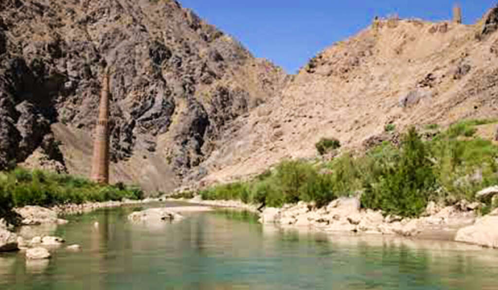
In the sacred Zoroastrian text, the Zend Avesta, the term appears as Hapta Hindu, reflecting a well-known linguistic shift in which the Sanskrit sound “s” often corresponds to “h” in ancient Iranian languages.
In the Avesta, Hapta Hindu is described as one of the sixteen lands created by Ahura Mazda and occupies an important place in its sacred geography.
Influenced by the idea of Hapta Hindu, medieval Muslim travellers and geographers also translated the concept into Arabic and Persian forms. They used the expression Sab’a Sin, meaning “seven rivers,” for such geographical groupings.
The renowned scholar and historian Al-Biruni, in his famous work Kitab-ul-Hind, writes that according to certain ancient travellers, Sab’a Sin or the seven rivers referred to streams originating in the Hindu-Koh, or Hindu Kush, mountains and flowing northwards before joining the Jaihun near Tirmidh, present-day Termez in Uzbekistan.
Although this was a different geographical interpretation from the usual Sapta Sindhu of northwestern India, it demonstrates how widely the concept of seven rivers had spread across Central Asia.
The Rivers of Sapta Sindhu in Vedic and Puranic Sources
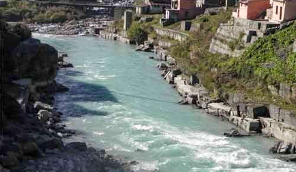
There has long been considerable disagreement among scholars over the precise geographical extent of Sapta Sindhu and the identity of its seven rivers in the Vedas, Mahabharata and Puranas.
Different rivers were included in the group during different historical periods.
According to the Nadi Sukta, the 75th hymn of the tenth Mandala of the Rigveda, several major rivers of the Indian subcontinent are mentioned. Their ancient names include Ganga, Yamuna, Sarasvati, Shutudri (Sutlej), Parushni, Marudvridha and Ajikia/Vipasa (Beas).
The noted Orientalist and translator Horace Hayman Wilson identified the Vedic Parushni with the Ravi.
However, a closer reading of another Rigvedic passage has led some scholars to suggest that Marudvridha may instead have been associated with the Ravi because of its described position in relation to the Asikni, or Chenab, and Vitasta, or Jhelum.
Because of such geographical interpretations, the exact identification of Parushni and Marudvridha has remained a subject of long-standing scholarly debate.
The broadly accepted core of the Rigvedic Sapta Sindhu region is usually understood to include:
Sindhu (Indus), Vitasta (Jhelum), Asikni (Chenab), Parushni (Ravi), Vipasa (Beas), Shutudri (Sutlej) and Sarasvati.
By the time of the Mahabharata, however, the geographical horizon had expanded considerably.
According to records cited by the Punjab Languages Department, the Bhishma Parva and other sections of the Mahabharata give different lists of seven rivers in different places.
One list includes Vasvoksara, Nalini, Pavani, Ganga, Sita, Sindhu and Jambu, while another includes Ganga, Yamuna, Plakshaga, Rathastha, Sarayu, Gomati and Gandaki.
These variations suggest that as Vedic and early Indian cultural expansion moved eastward from the Sapta Sindhu region towards the Ganga-Yamuna plains, eastern rivers also began to be incorporated into sacred groupings of “seven rivers.”
Ancient Geographical Boundaries of Sapta Sindhu:
The Disappearance of Sarasvati and the Rise of the Yamuna
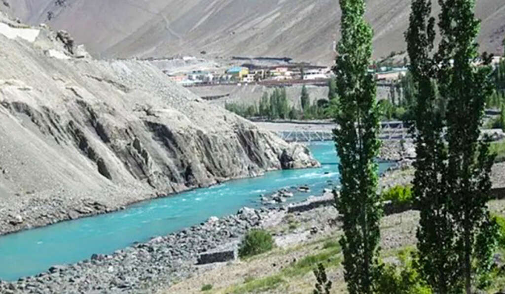
The geographical extent of ancient Punjab was far larger than that of the modern state.
Traditionally, its broad natural boundaries stretched between the Indus in the west and the Yamuna in the east.
The ancient Sapta Sindhu region, moving from west to east, included the Indus, Jhelum, Chenab, Ravi, Beas, Sutlej and Sarasvati or Yamuna.
Between the western and eastern limits flowed the five principal rivers of the Punjab: the Jhelum or Vitasta, Chenab or Asikni, Ravi or Parushni, Beas or Vipasa, and Sutlej or Shutudri.
The fertile land watered by these seven rivers came to be known as Sapta Sindhu.
According to historical interpretations, during the Vedic and some later periods, the easternmost important river of Sapta Sindhu was the Sarasvati.
The Rigveda praises Sarasvati as Naditama, or the greatest among rivers.
Over time, however, geographical changes, shifts in river systems and climatic transformations are believed to have contributed to the weakening and eventual disappearance of the major river described in the texts.
Today, various channels in Haryana and Rajasthan are associated with traditions of the ancient Sarasvati, while the Ghaggar-Hakra system is often discussed in this context.
As the Sarasvati ceased to function as a major visible river system, the Yamuna increasingly came to represent the eastern geographical boundary in later understandings of the region.
From Sapta Sindhu to Panjnad and Punjab
Changes in river courses and geographical understanding also changed the name of the region over time.
From the east, the Sutlej and Beas join one another, while from the northwest the Jhelum, Chenab and Ravi combine into larger channels.
These river systems ultimately converge near the historic region around Uch Sharif, west of Khairpur, where the waters of the five Punjab rivers come together.
This great confluence became known as Panjnad, literally the “five rivers.”
From this name, the wider eastern region extending towards the Yamuna was also sometimes described in ancient and medieval geographical traditions as the land of the Panjnad.
From around the tenth and eleventh centuries onward, as Muslim rulers, travellers and Sufi saints from Central Asia and Persia entered the region, the name was rendered in Persian.
The Persian words panj, meaning five, and ab, meaning water, combined to form Punjab, literally “the land of five waters.”
During the Mughal period, particularly under Emperor Akbar, the term Punjab became increasingly established for the wider Lahore region. References to the regional geography appear in Abul Fazl’s Ain-i-Akbari.
The geographical structure of historic Punjab during the British period and before the Partition of 1947 was much larger than the present-day Indian Punjab.
Under British rule, areas west of the Indus, including the Isa Khel tehsil of Mianwali district, as well as Dera Ghazi Khan further to the southwest, were also administered as part of Punjab.
Historians Debate the Ancient Name: Sapta Sindhu Versus Aratta
There is another interesting debate among historians regarding the ancient name of Punjab.
While many mainstream historians identify the Vedic Punjab broadly with Sapta Sindhu, noted Punjab historian Professor Sukhdyal Singh has highlighted another term found in ancient sources: Aratta or Aratta-desha.
According to this interpretation, some Vedic and Mahabharata references use Aratta in connection with the people and geography of this northwestern region.
The term has been interpreted as referring to people or territories that were outside the control of a central king or orthodox political authority, suggesting a land of relatively autonomous communities or tribes.
In the Karna Parva of the Mahabharata, particularly Chapter 44, people of the Punjab region are referred to as Vahikas and Arattas. The text uses these terms while describing the customs, lifestyle and food habits of the inhabitants of the northwest.
Some interpretations of Greek accounts from the time of Alexander have also connected similar-sounding names with republican or tribal communities of the region.
Thus, while Sapta Sindhu can be understood primarily as a sacred and geographical name based on river systems, Aratta has been interpreted as reflecting aspects of the region’s political and social distinctiveness.
What Did the Sapta Sindhu Civilisation Give to the World?
Many historians view Sapta Sindhu as far more than a collection of rivers. It was one of the great cradles of human thought and civilisation.
Along the rivers of this land, Vedic seers composed hymns that eventually formed the Rigveda, one of the oldest bodies of literature in the world.
Important centres of the Indus or Harappan civilisation, including Harappa near the Ravi system and Ropar on the Sutlej, belonged to the wider northwestern cultural zone.
The civilisation developed sophisticated urban planning, baked-brick construction, drainage systems and extensive trade networks.
Because of its geographical position at the northwestern gateway to the subcontinent, Punjab repeatedly became the first major region confronted by armies entering from Central and West Asia, including those associated with Alexander, Mahmud of Ghazni, Muhammad Ghori and later the Mughals.
Centuries of such encounters helped shape the region’s reputation for resilience, martial traditions and an enduring culture of resistance.
The history of Sapta Sindhu is therefore a living example of the upheavals and cultural evolution of the Indian subcontinent.
The land of seven sacred rivers passed through different historical identities: from Sapta Sindhu in the ancient world to Panjnad, and eventually to Punjab in the medieval period.
Over time, some river systems such as the ancient Sarasvati changed or disappeared, while Partition in 1947 and the reorganisation of Punjab in 1966, including the separation of Haryana and the transfer of hill regions to Himachal Pradesh, greatly reduced its political boundaries.
Yet the historical, cultural and geographical significance of this region remains immense.
Sapta Sindhu continues to endure in the pages of history as one of the most remarkable chapters in the story of human civilisation.


Leave a Comment